Basics of multidimensional data analysis

Felix Cremer, Fabian Gans

Max Planck Institute for Biogeochemistry
NFDI4Earth Advancing Tools

Data cubes
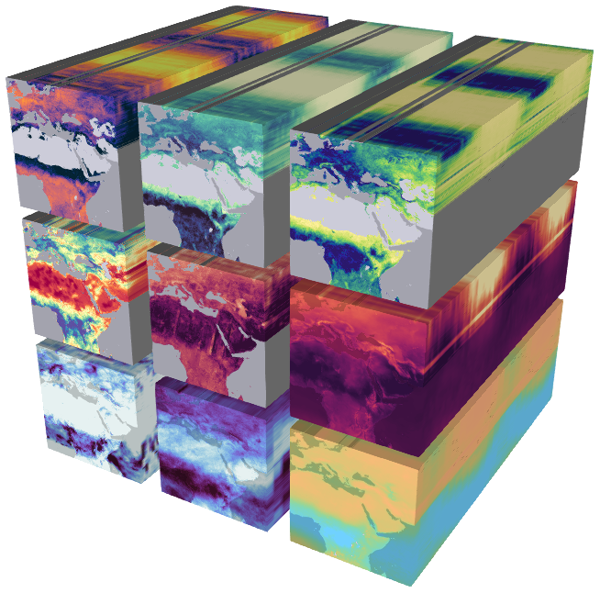
Earth System Data Cube

Data formats

  • Geotiff
  • Zarr
  • NetCDF

Chunking

Spatial chunking

Box chunking
Figure 1: Different chunking structures

Pyramids

using PyramidScheme
using Rasters, RasterDataSources
using ArchGDAL
rastas = Raster(CHELSA{Climate},:tas, lazy=true, month=1)
rastasscale = rastas.metadata["scale"] .* rastas .+ rastas.metadata["offset"]
pyrtas = Pyramid(rastasscale)
using GLMakie
plot(pyrtas, colormap=Reverse(:RdYlBu))

Pyramid example